Whatcom County Flooding & Landslides
Flooding along the Nooksack River has caused significant damage throughout Whatcom County during a record-setting rain event during mid-November, 2021. As a cold front leaves us with clear skies, water continues to funnel from the mountains into our large rivers and flood several lowland communities. This event highlights the power of our river systems, and shows the importance of monitoring, mapping, and modeling our drainages so that we can predict and prepare for similar events in the future.
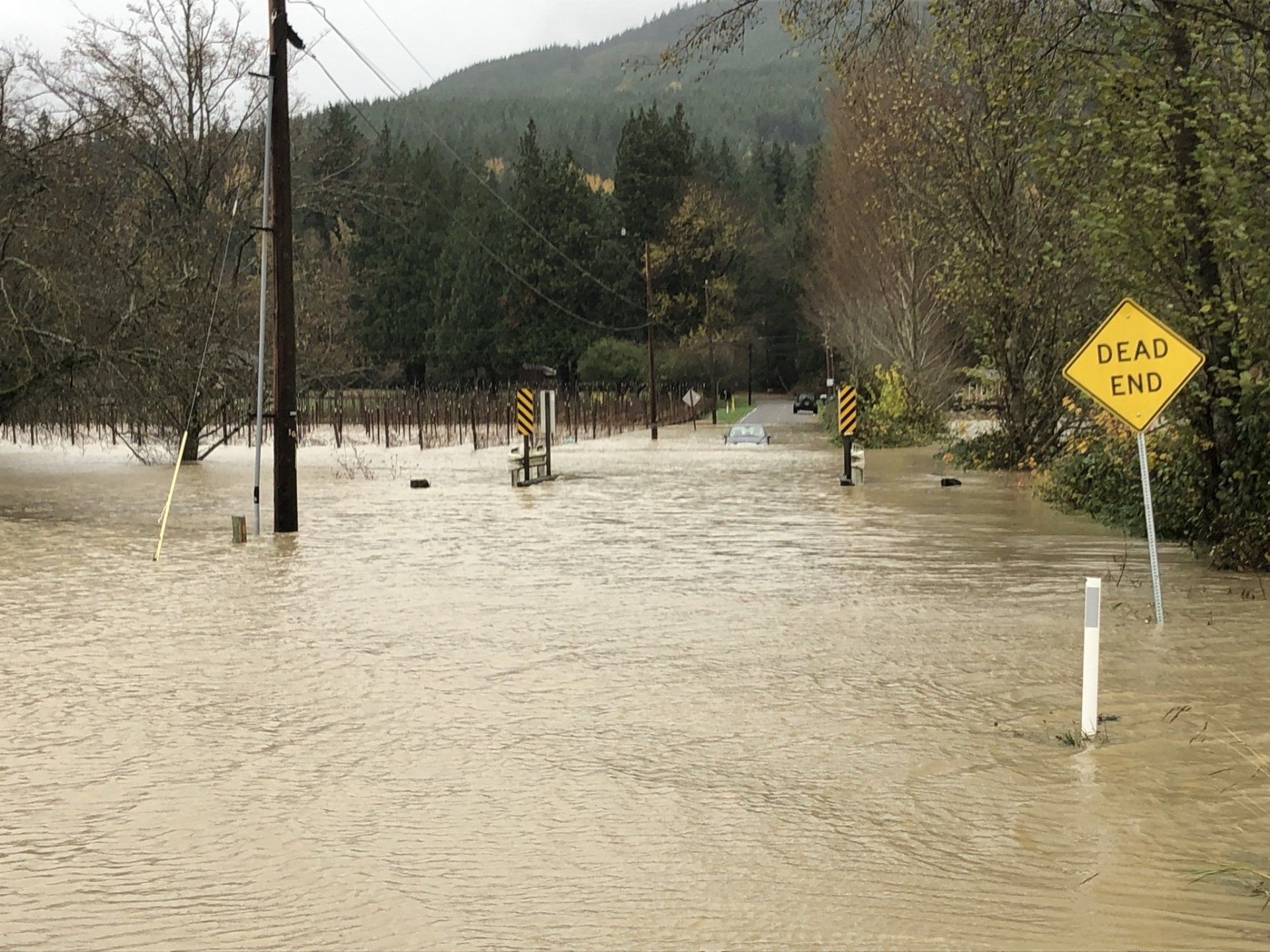

Beginning in early November, rain continued to fall across the Puget Sound region before culminating with the arrival of a large atmospheric river weather system. This storm system, which was felt particularly hard in the Whatcom and Skagit Counties, was proceeded by several pulses of high-elevation snow in the cascades. The atmospheric river brought warm air and significant moisture, which fell onto and melted a significant portion of the recently-deposited snowpack. An NWAC weather station at Heather Meadows recorded approximately 15 inches of rainfall and the loss of nearly 3 feet of snow between the 11th and 16th. At the same time, 72-hour rainfall totals leading up to the 15th across the Whatcom County foothills commonly reached 7-9 inches. Significant to say the least.


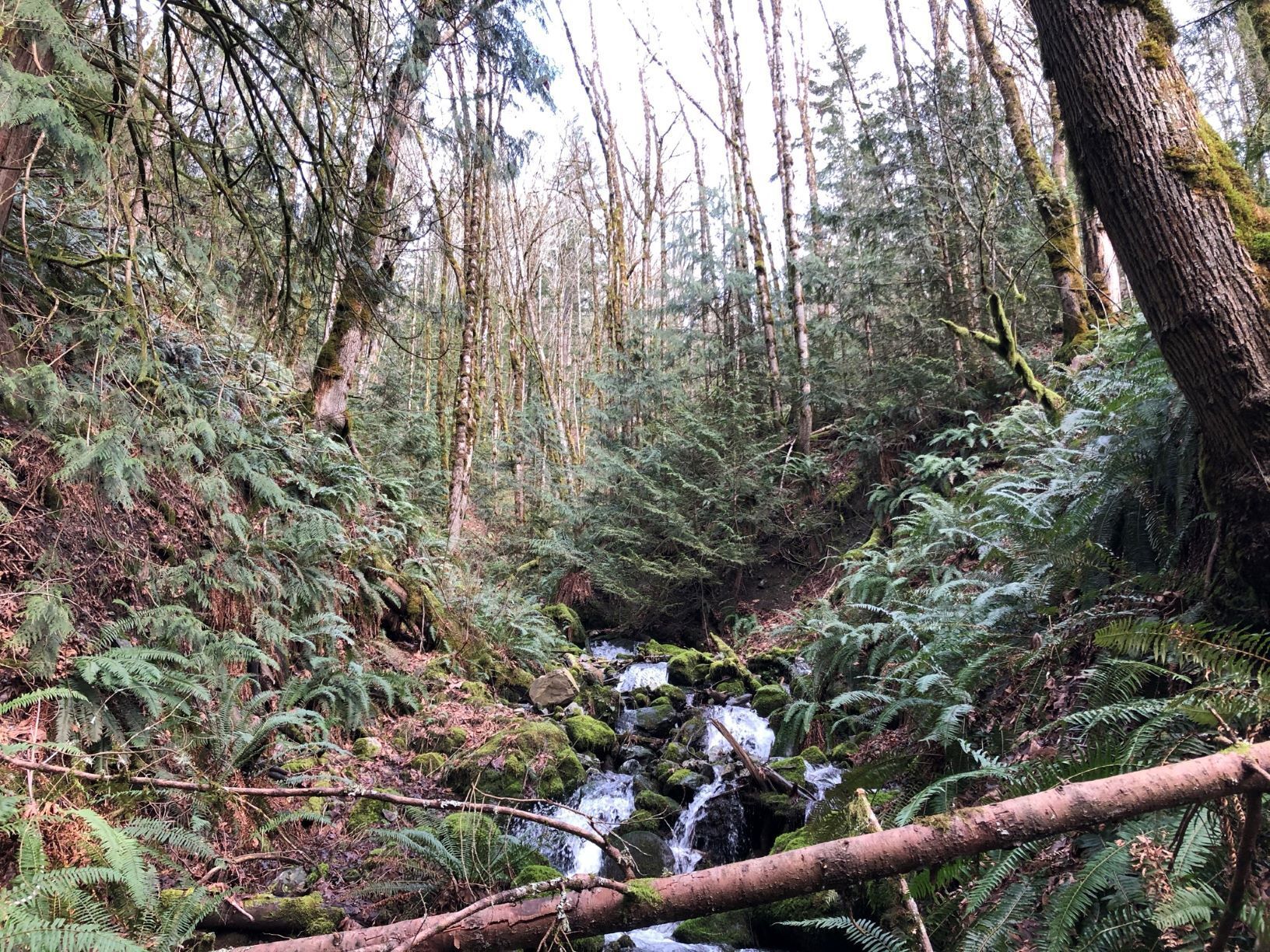
During this prolonged rain event, soils across the region became oversaturated and effectively lost their ability to store any additional water. Thus, rainfall during the strongest periods of the storm was quickly directed to the stream and river systems downslope. This rapid transport brings with it rapid erosion in the form of landslides, mudflows, and rockfalls. Perhaps most notable in Whatcom County was the deep-seated landslide which temporarily closed all north and south-bound lanes of I-5 just north of Lake Samish between milepost 246 and 247. Three landslides were reported along the northbound lanes within this small stretch.


Significant rain and flood events such as the November 21' event are important reminders of the risks posed to new and old development located near steep slopes and running waters. Careful consideration must be taken when considering what may seem to be unimaginable conditions that can develop during historic-level weather events.