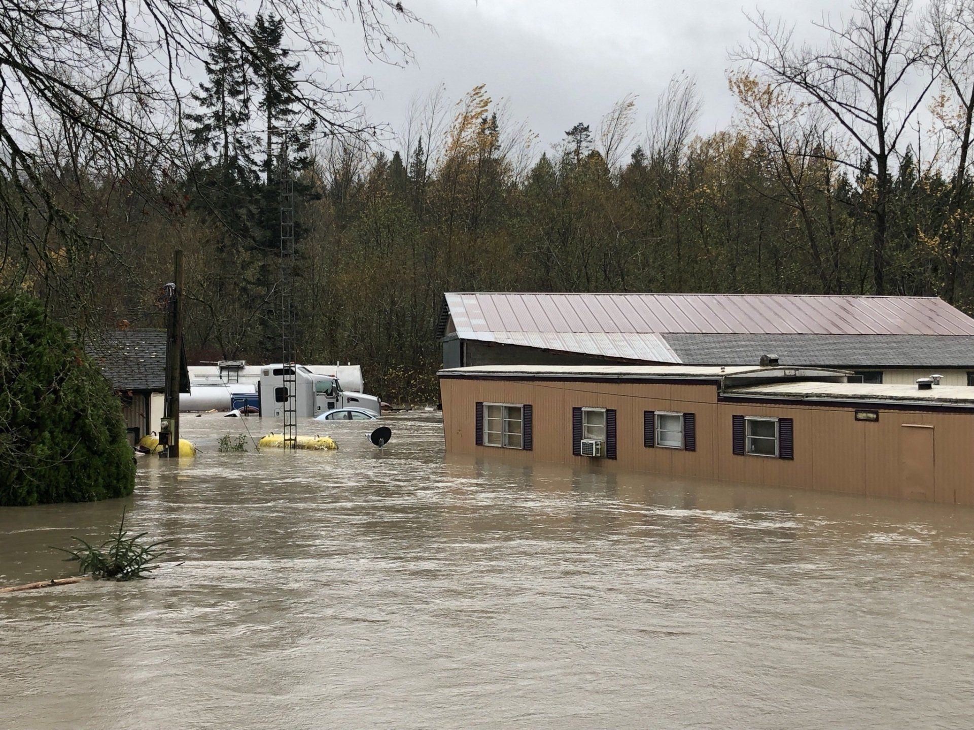
Ordinary High Water Mark (OHWM) Study Lake Whatcom
The Shoreline Management Act (SMA) enacted by the Washington State legislature in 1971 requires most towns and cities to develop and implement Shoreline Master Programs (SMPs) to help preserve and protect Washington’s natural waters. The Ordinary High Water Mark (OHWM) must be determined on a site-by-site basis in order to properly implement the rules and guidelines found in the Shoreline Master Program.
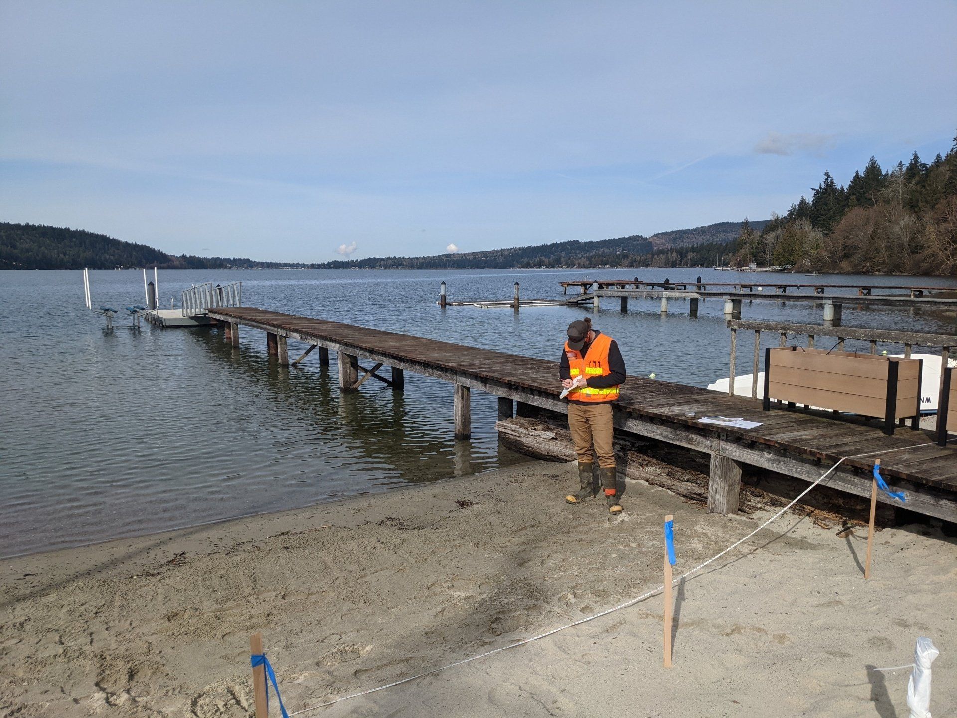
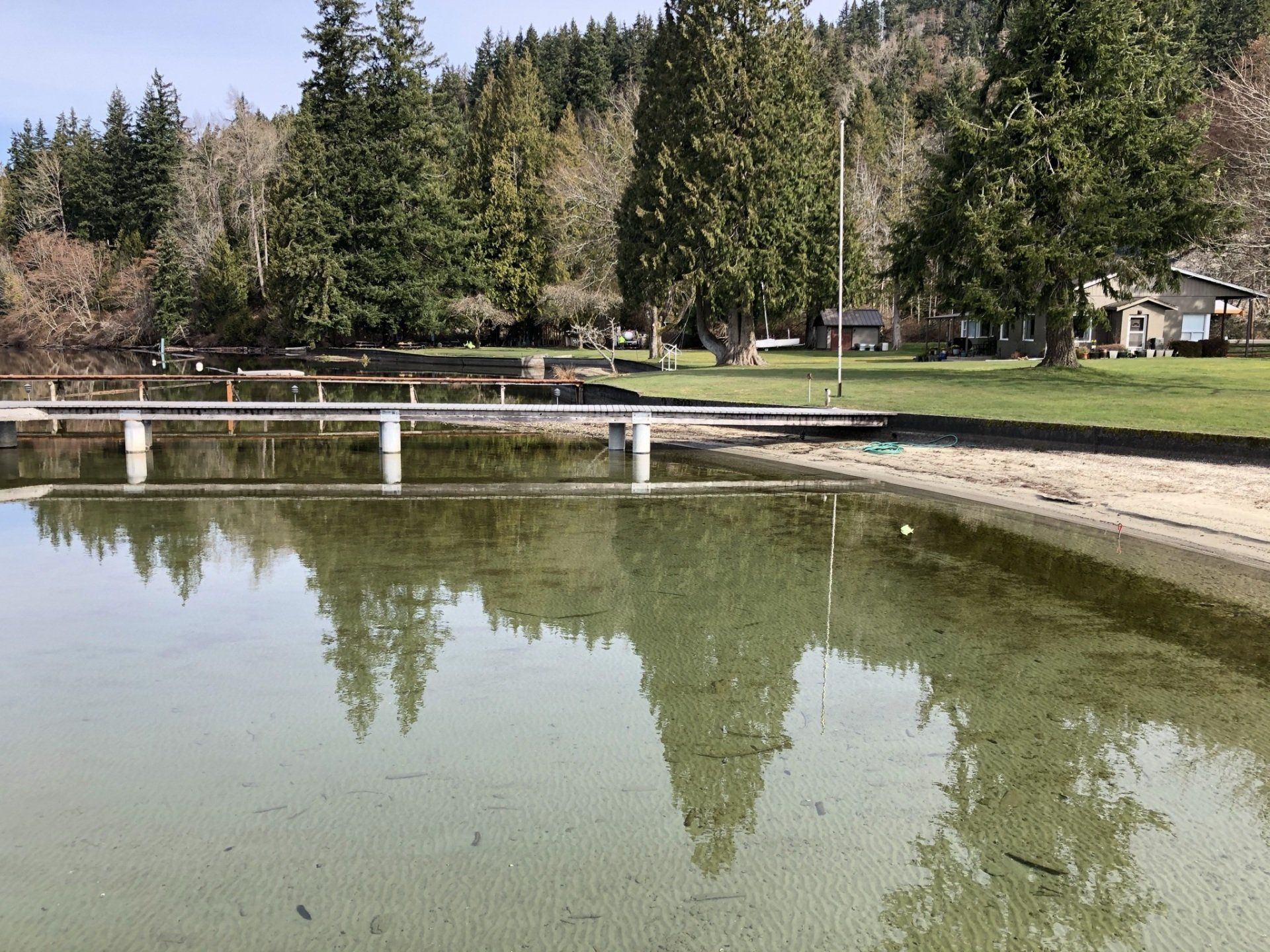
Element recently performed an OHWM assessment along the northern shore of Lake Whatcom for a client proposing to make a new addition to an existing residence. Permit requirements specify that the new addition must be constructed in compliance with the current Shoreline Master Program of Whatcom County. The program states that the shoreline setback must be 100-feet from the OHWM of lakes greater than 20-acres in size. Thus, the study was required to accurately determine the OHWM on the property.
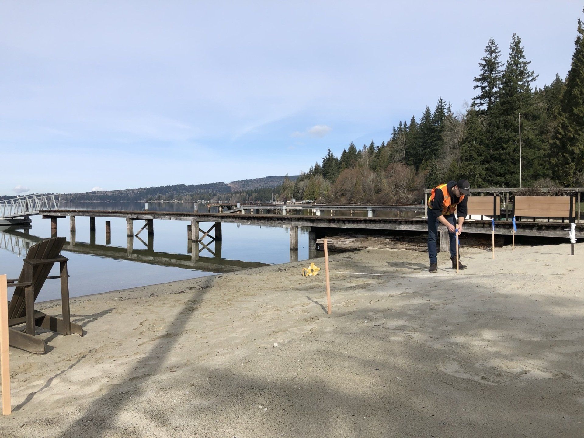
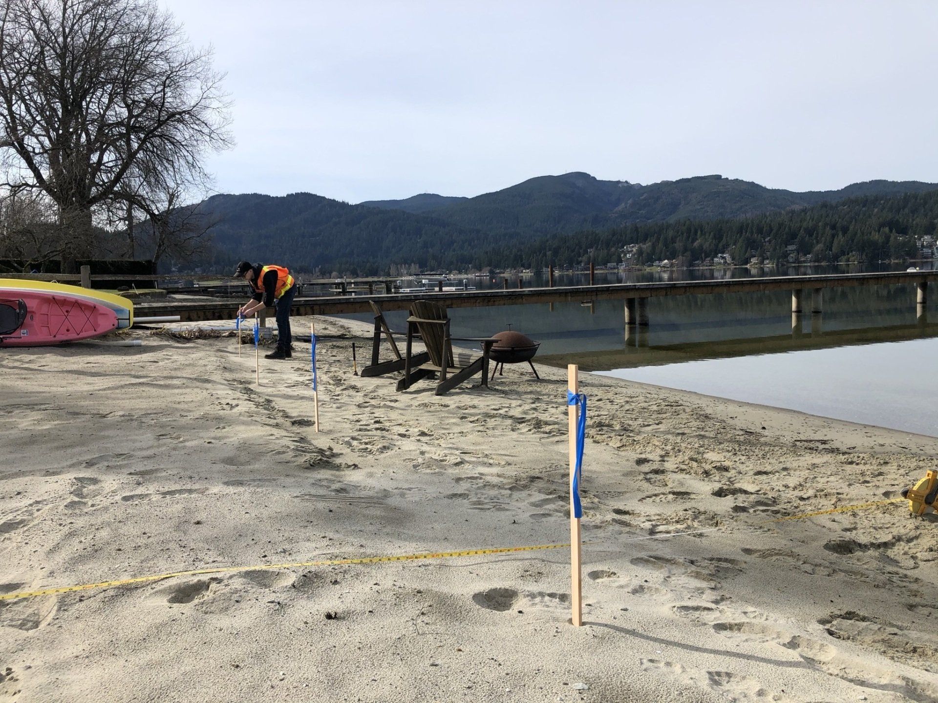
Element geologists completed a detailed site reconnaissance of the shoreline and adjacent areas to identify several field indicators of the OHWM. Due to the artificially altered nature of the shoreline along this portion of the lake, close attention was needed to delineate key OHWM features. Water stains and dried filamentous algal growth lines were noted on several piers and bulkheads. Additionally, roots were exposed along the base of several scrubs approaching the beach, signaling erosion due to repetitive wave action. Element determined that the elevation of a small topographic break along the sandy beach correlated strongly with the various indicators. This feature was hand-surveyed, mapped, and flagged in the field. We provided a letter report summarizing the field reconnaissance, our detailed site and shoreline description, and conclusions for the OHWM determination for permit submittal.