Example Projects
Project Figure Support & Site Plan Generation
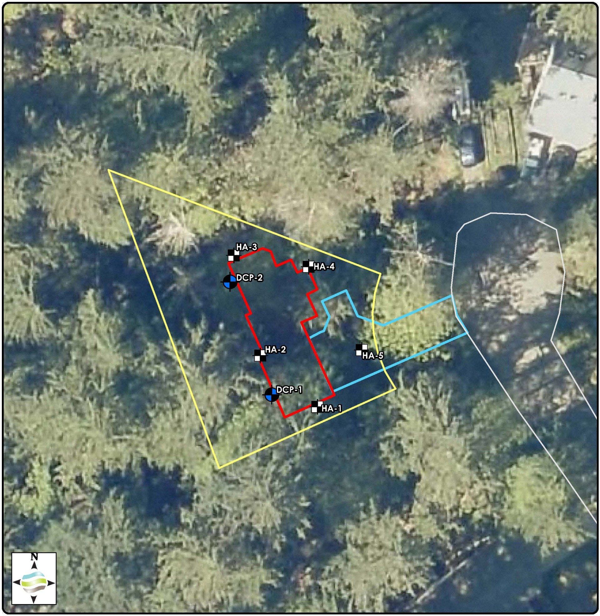
Element collaborated with Pacific Surveying & Engineering (PSE) and partnering firms to provide GIS & CAD figure support for a large-scale wetland mitigation bank instrument in the Whatcom County area. Our contributions included creation of over 20 detailed GIS figures depicting existing conditions and reference data for an approximately 100-acre (total) site and surrounding areas. The project area was split between three separate bank sites, each requiring supporting figure sets. Element also compiled and organized geospatial data, consisting of shapefiles and raster datasets, into a geodatabase to provide to the local governing agencies for use after approval. This project is an example of our in-house GIS capability and its application to support large scale or planning-level project actions.
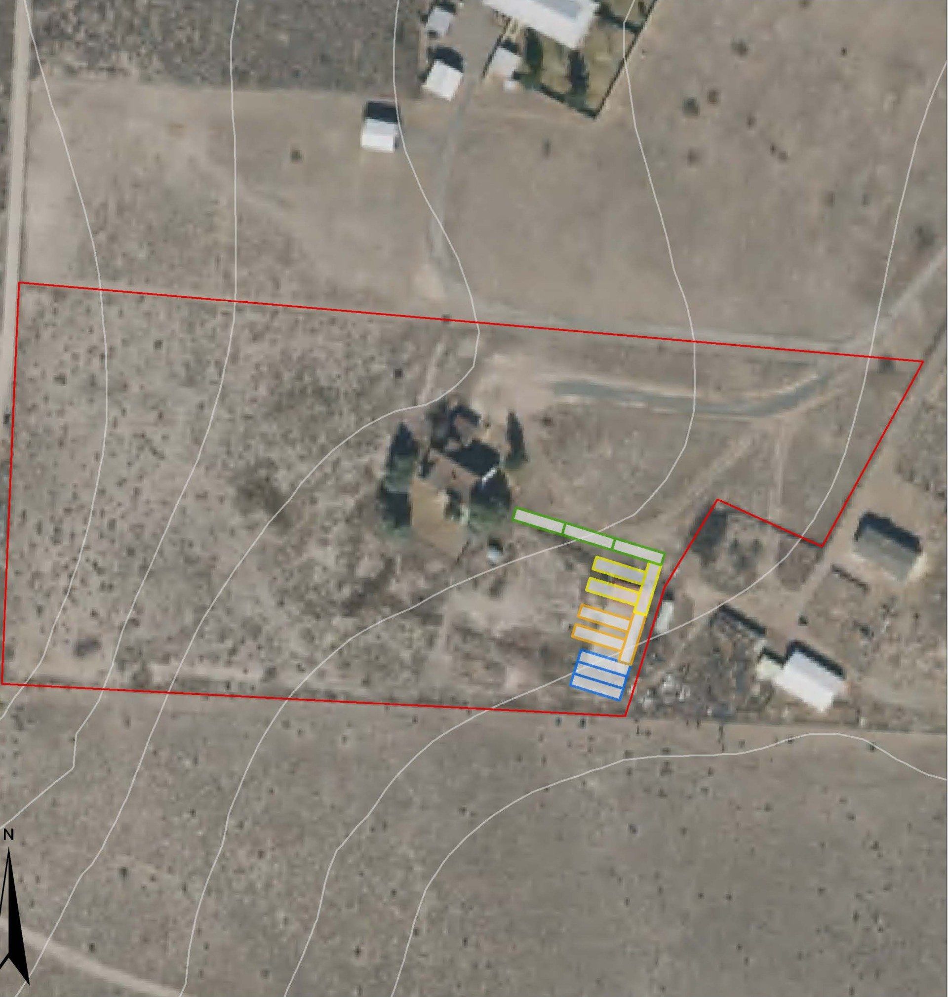
Element is retained to provide on-demand GIS mapping services to produce scaled site plans for planning and permitting of on-site agricultural processing systems deployed at locations across the United States. We were requested to provide GIS support for a local business so that it can best serve clients in planning of on-site operations. Our team searches the relevant federal, state, and county databases to identify the most current geospatial information available needed to create accurate maps. We work closely with our client to depict site boundaries, topography, system placement and hookups, all overlaid on contemporary aerial imagery. The scaled plan maps are used by the firm and clients to streamline local approvals.
More example work is available upon request.

Slide title
Write your caption hereButton
Slide title
Write your caption hereButton
Ready to start your project?

All Element Solutions | Website Design by Advancify
